


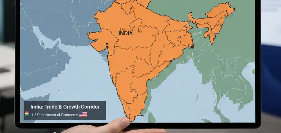
Pakistan has said it contacted authorities in the United States after a now-deleted social media post by the office of the United States Trade Representative displayed a map depicting the entire Jammu and Kashmir region as part of India.
The map showed the full territory of Jammu and Kashmir, including Pakistan-occupied Kashmir (PoK), within India’s boundaries. It also included Aksai Chin, an area claimed by China, as part of India. The depiction aligned with New Delhi’s long-standing territorial position but differed from earlier US-issued maps that had taken Pakistan’s objections into account.
Addressing the issue during a press briefing, Pakistan’s foreign ministry spokesperson Tahir Andrabi said Islamabad had formally raised the matter with US officials, describing the map as “illegal.” He added that Pakistan “noted with satisfaction” that the post was removed four days later.
“They realised that this map was illegal. The international map on Jammu and Kashmir, which delineates Pakistani and Indian territories, is legally sanctioned by the UN,” Andrabi said, adding that Pakistan believes the dispute should be resolved through a UN-administered plebiscite in line with resolutions of the United Nations.
The controversy has drawn attention as previous maps released by the US government or State Department often showed PoK separately, broadly reflecting Pakistan’s position. This time, however, the map — issued during the Trump administration — did not make that distinction.

ସିକ୍କିମରେ ଘଟିଥିବା ଭୟଙ୍କର ଟନେଲ ଦୁର୍ଘଟଣା ସମଗ୍ର ଦେଶକୁ...
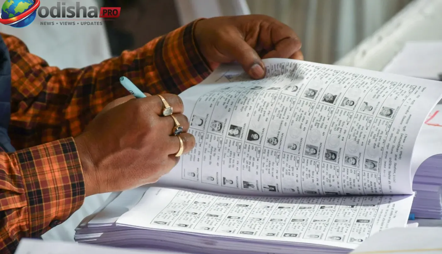
ରାଜ୍ୟର ଭୋଟର ତାଲିକାର ସ୍ୱତନ୍ତ୍ର ସଂଶୋଧନ (SIR) ପ୍ରକ୍ରି...

ଅଯୋଧ୍ୟା ରାମ ମନ୍ଦିର ଟ୍ରଷ୍ଟ ଆର୍ଥିକ ସ୍ୱଚ୍ଛତା ଓ ଜବାବଦେ...

ଓଡ଼ିଶାର ରାୟଗଡ଼ା ଜିଲ୍ଲାର ଏକ ସରକାରୀ ପ୍ରାଥମିକ ବିଦ୍ୟାଳ...
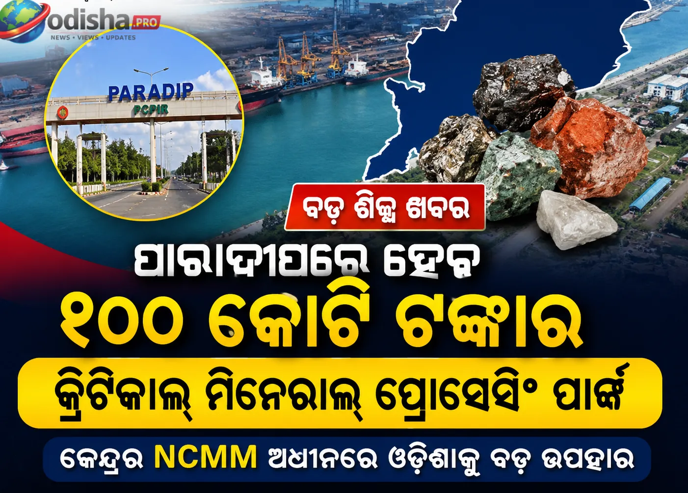
ଓଡ଼ିଶାକୁ ମିଳିଛି ଆଉ ଏକ ବଡ଼ ଶିଳ୍ପ ପ୍ରକଳ୍ପ। କେନ୍ଦ୍ର ସ...

ରାଷ୍ଟ୍ରପତି ଦ୍ରୌପଦୀ ମୁର୍ମୁ ଆସନ୍ତା ଅଗଷ୍ଟ ୩ରୁ ୫ ତାରିଖ...
ମଧ୍ୟପ୍ରାଚ୍ୟରେ ଜାରି ରହିଥିବା ଯୁଦ୍ଧ ପରିସ୍ଥିତି ମଧ୍ୟରେ...
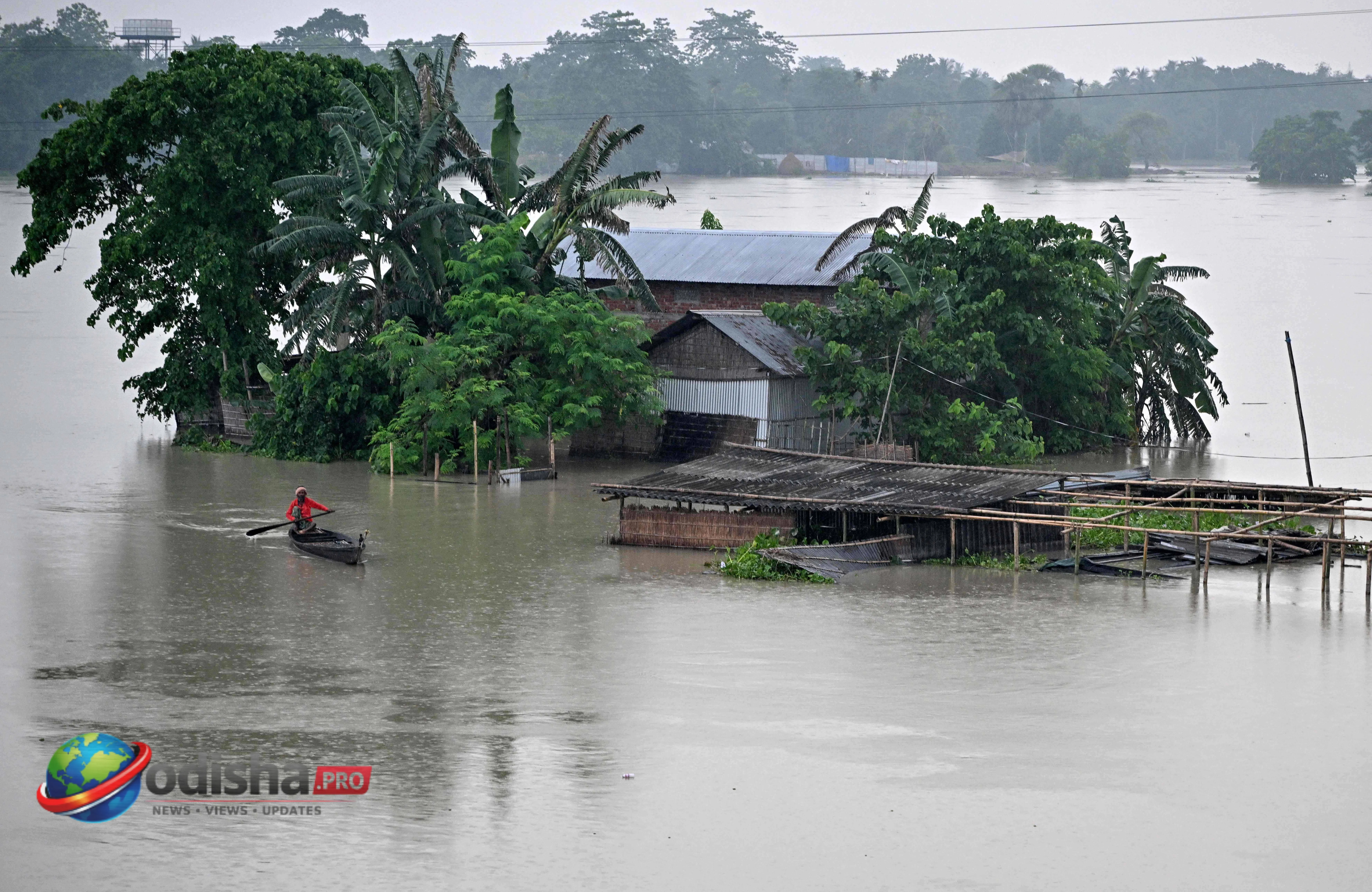
ଲଗାଣ ବର୍ଷା ପରେ ଆସାମରେ ପ୍ରକୃତିର ପ୍ରଳୟଙ୍କରୀ ରୂପ ଦେଖି...