


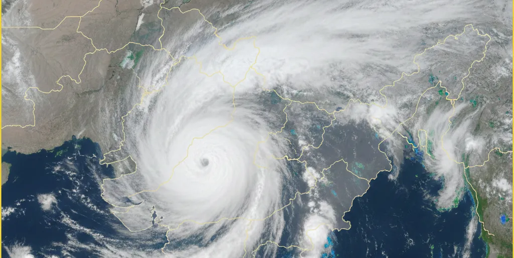
The Low-Pressure Area over the southeast Bay of Bengal continued to persist over the same region on February 24, 2026, according to the India Meteorological Department (IMD).
The associated cyclonic circulation extends up to 3.1 km above mean sea level. The system is very likely to move eastwards and gradually weaken over the next 24 hours.
Meanwhile, an upper air cyclonic circulation persists over Gangetic West Bengal and adjoining north coastal Odisha at about 1.5 km above mean sea level. This system may influence weather conditions in several parts of Odisha.
Under its impact, light rain or thundershowers are very likely to occur at one or two places in the districts of Balasore, Bhadrak, Kendrapara, Cuttack, Jagatsinghpur, Mayurbhanj, Gajapati, Ganjam, Khordha, Puri, Malkangiri, Koraput and Rayagada until 8:30 AM IST on February 25. The remaining districts are expected to witness dry weather.
Shallow to moderate fog is also very likely during early morning hours at isolated places in Balasore, Bhadrak, Kendrapara, Cuttack, Jagatsinghpur, Mayurbhanj, Khordha and Puri districts. Dense fog conditions are likely at isolated pockets in Jagatsinghpur, Khordha and Puri.
The IMD has issued a Yellow Warning for isolated places in Balasore, Bhadrak, Kendrapara, Jagatsinghpur and Mayurbhanj districts, where thunderstorms accompanied by lightning and gusty surface winds reaching 30–40 kmph are very likely. Residents have been advised to remain cautious during thunderstorm activity and take necessary safety precautions.

ମେଷ : ଏହି ସପ୍ତାହରେ କର୍ମକ୍ଷେତ୍ରରେ ଆପଣଙ୍କ ପରିଶ୍ରମ...

ଚଳିତ ବର୍ଷ ଆରମ୍ଭରେ ରେକର୍ଡ ସ୍ତରକୁ ପହଞ୍ଚିଥିବା ସୁନା ଦର...

କେନ୍ଦ୍ର ସ୍ୱାସ୍ଥ୍ୟ ଓ ପରିବାର କଲ୍ୟାଣ ମନ୍ତ୍ରୀଜଗତ ପ୍ରକା...
୨୦୨୬ ଫିଫା ବିଶ୍ୱକପ୍‌କୁ ନେଇ ସାରା ବିଶ୍ୱରେ ଉତ୍ସାହ...
ଆୟର୍ଲାଣ୍ଡ ବିପକ୍ଷ ଟି-୨୦ ଶୃଙ୍ଖଳାରେ ୦-୨ରେ ପରାଜିତ ହେବା...
ପର୍ତ୍ତୁଗାଲର ମହାନ ଫୁଟବଲର କ୍ରିଷ୍ଟିଆନୋ ରୋନାଲ୍ଡୋଙ୍କ ଆନ...
ଦୀର୍ଘ କିଛି ମାସର ଅନିଶ୍ଚିତତା ପରେ ଭାରତ ଓ ବାଂଲାଦେଶ ମଧ୍...